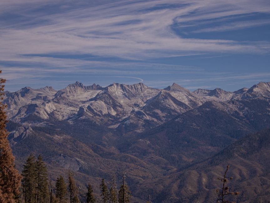
You’ve seen the photos. Snow-capped peaks, endless desert ridges, and a trail stretching from Mexico to Canada. The Pacific Crest Trail (PCT) runs 2,650 miles through California, Oregon, and Washington. For 2026, permit caps and wildfire season rules have shifted. This guide covers the specific legal and logistical steps you need before you set foot on the trail.
PCT Permits: The One Document You Cannot Skip
The single biggest mistake beginners make is assuming they can just show up and hike. You cannot. The Pacific Crest Trail Association (PCTA) runs a limited-entry permit system. For 2026, the application window opens in November 2026 and closes in January 2026.
Long-Distance Permit vs. Local Permits
The PCTA’s long-distance permit covers 95% of the trail’s camping and entry requirements. It costs $10 plus a $5 processing fee. You need this if you plan to hike more than 500 continuous miles. Apply through the PCTA website directly, not third-party resellers. Scams exist.
If you’re hiking less than 500 miles, you’ll need individual permits for each national forest and park you cross. That means separate applications for Yosemite, Sequoia/Kings Canyon, Crater Lake, and the Columbia River Gorge. This is significantly more paperwork. For most beginners, the long-distance permit is the cleaner path.
Canada Entry Permit (2026 Update)
Canada now requires a mandatory electronic travel authorization (eTA) for U.S. citizens entering at Manning Park. This is a separate $7 CAD application. Do this at least 30 days before your finish date. The PCTA permit does not cover Canadian customs.
Gear Strategy: Light Enough to Move, Heavy Enough to Survive

Your pack weight determines your daily mileage. A 50-pound pack will wreck your knees by mile 500. A 25-pound pack (base weight, no food or water) lets you comfortably cover 15-20 miles per day. The goal is not ultralight. The goal is sustainable.
The Big Three — pack, shelter, sleep system — account for nearly half your base weight. For 2026, the Osprey Exos 58 (58 liters, $270) is a reliable mid-weight pack. The Zpacks Duplex tent ($699, 21 ounces) is the gold standard for solo hikers. The Therm-a-Rest NeoAir XLite NXT sleeping pad ($210, 15 ounces) provides R-value 4.8 without the bulk.
Do not buy a 0-degree sleeping bag for the Sierra section in June. You will overheat. A 20-degree down quilt from Enlightened Equipment ($385, 20 ounces) works for 90% of the trail. Add a silk liner for cold nights.
Shoes matter more than anything. Trail runners, not boots. The Hoka Speedgoat 5 ($155) or Altra Lone Peak 7 ($150) are standard. Plan for three pairs over the full trail. You will destroy them.
| Item | Brand/Model | Weight | Cost | Notes |
|---|---|---|---|---|
| Pack | Osprey Exos 58 | 2 lbs 10 oz | $270 | Adjustable torso length |
| Tent | Zpacks Duplex | 21 oz | $699 | DCF material, needs trekking poles |
| Sleeping Pad | Therm-a-Rest NeoAir XLite NXT | 15 oz | $210 | R-value 4.8, packs small |
| Sleeping Bag | Enlightened Equipment Revelation 20 | 20 oz | $385 | Down quilt, 950 fill |
| Shoes | Hoka Speedgoat 5 | 11 oz each | $155 | Replace every 500 miles |
Resupply Strategy: Where to Get Food on the PCT
The PCT has no stores along the trail. You must mail yourself food boxes to specific post offices or general stores along the route. Beginners often overpack food for the first section (Mojave Desert) and run out by the Sierra.
The Standard Resupply Points
Most thru-hikers use 8-10 resupply boxes. Key locations include: Warner Springs (mile 109), Kennedy Meadows South (mile 702), Bishop (mile 789, via hitch), South Lake Tahoe (mile 1090), Ashland (mile 1715), and Cascade Locks (mile 2155). Each box should contain 5-7 days of food.
Do not send a full 10-day box to Kennedy Meadows South. The Sierra section is the hardest part of the trail. You will be exhausted and hungry. Send two smaller boxes instead — one to Kennedy Meadows South, one to Bishop. The hitch from the trail to Bishop takes about 2 hours each way.
Food Choices That Work
Instant mashed potatoes, Knorr pasta sides, tortillas, peanut butter, and dried fruit are staples. Avoid anything that requires more than boiling water. You will not want to cook elaborate meals after 25 miles. Couscous cooks in 5 minutes with cold water. That matters when you’re tired.
Water: The Real Danger on the PCT
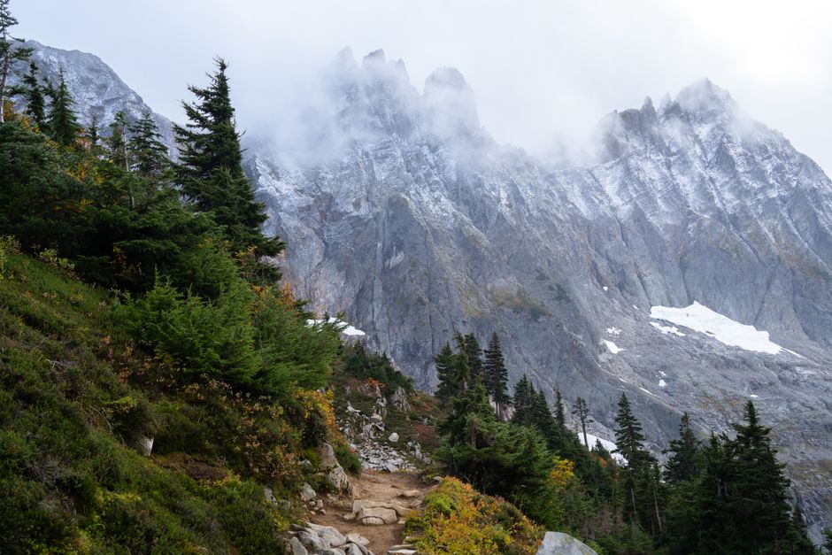
Dehydration and waterborne illness end more hikes than bears or falls. The PCT crosses the Mojave Desert first. Water sources in that first 700 miles are unreliable and often contaminated.
Carrying Capacity
In the desert, you need to carry up to 6 liters of water at once. That’s 12 pounds of water alone. Use a Sawyer Squeeze filter ($40, 3 ounces) for treatment. It screws onto standard Smartwater bottles. Do not rely on iodine tablets alone — they don’t kill cryptosporidium, which is present in several Sierra streams.
Water caches exist in the desert, maintained by trail angels. Do not depend on them. They are not guaranteed. Check the PCTA’s water report (updated weekly during hiking season) before each section.
Dry Camping
You will camp at sites with no water source. Plan for dry camping 2-3 nights per week in the desert. Fill every container at the last reliable source. The water report marks sources with reliability ratings: “running,” “trickling,” or “dry.” Trust the report, not what you see on the map.
Navigation: Your Phone Is Not Enough
The PCT is well-marked with PCT-specific trail signs, but junctions can be confusing. Snow covers sections in the Sierra until July. Beginners get lost in the San Jacinto Mountains every year because they follow a social trail instead of the official path.
Halfmile’s PCT App (free, downloadable maps) and Guthook Guides (now FarOut, $35 per section) are the standard navigation tools. Both work offline. Download the entire trail before you leave. Cell service is absent for 60% of the trail.
Carry a paper map as backup. The Tom Harrison Maps for the Sierra ($12 each) are waterproof and show water sources. A compass costs $15 and weighs 2 ounces. You don’t need to be an expert orienteer. You do need to know how to orient a map to north.
Common Beginner Mistakes That End Hikes Early
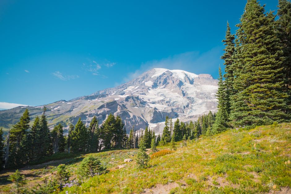
Most PCT thru-hike failures happen in the first 300 miles. Here are the specific errors we see every year.
Mistake #1: Starting too fast. Your body needs 2-3 weeks to adapt. Hiking 20 miles on day 3 is a guaranteed injury. Plan 12-15 miles per day for the first two weeks. Your joints will thank you.
Mistake #2: Ignoring foot care. Blisters, hot spots, and trench foot stop hikers cold. Change socks at every break. Use Leukotape P ($8 per roll) on any red spot immediately. Do not wait until it hurts. Once a blister forms, you lose 2-3 days of hiking.
Mistake #3: Not training for elevation gain. The PCT gains 300,000 feet of elevation total. That’s like climbing Mount Everest from sea level 10 times. If you train only on flat ground, your legs will fail in the Sierra. Train with a weighted pack on stairs or hills. Minimum 4 months of consistent training before start.
Mistake #4: Underestimating fire season. Wildfires close sections of the PCT every summer. In 2026, the Dixie Fire closed 150 miles for 6 weeks. Have a contingency plan. The PCTA’s fire closure map updates daily. Know your alternate routes: the Oregon Skyline Trail and the Tahoe Rim Trail are common detours.
Bottom line: the PCT is a logistical challenge, not just a physical one. Permits, resupply, water planning, and navigation are the skills that separate finishers from those who bail. Get those right, and the walking is the easy part.